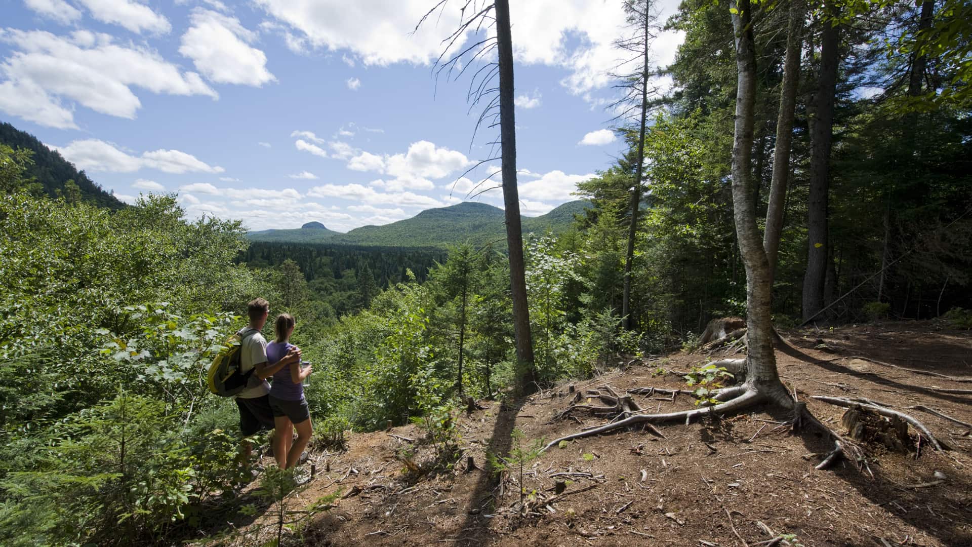
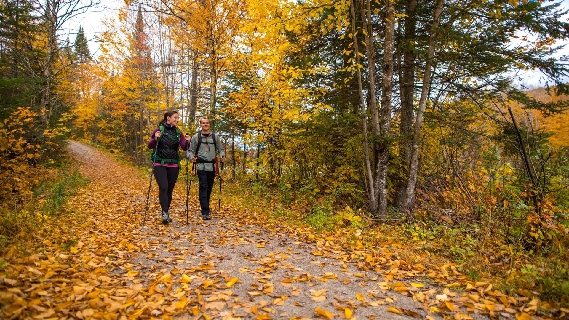
Rolling hills, rocky ridges, streams and waterfalls, views over the Diable River valley, and dozens of summits to explore. Here's where to hike around Mont-Tremblant this summer, from family-friendly paths to sporty climbs.
Four major networks share the region, each with its own character, viewpoints, and trail status to check before you head out.
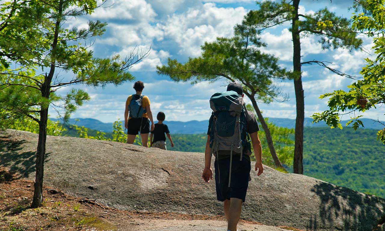
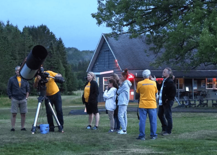
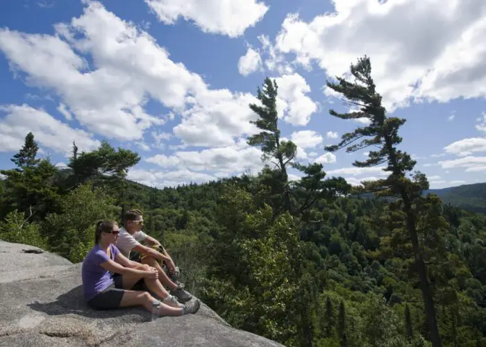
The oldest and largest provincial park in Quebec: 1,510 km² of hills, glacial valleys, 400 lakes, and six rivers. The Diable sector, near Lac Monroe, holds the most popular trails — La Roche, La Coulée, and La Corniche offer panoramas over the valley, and Le Centenaire follows the ridge above the Diable River. In 2023, the park became Quebec's first International Dark Sky Park. National park access fees required.
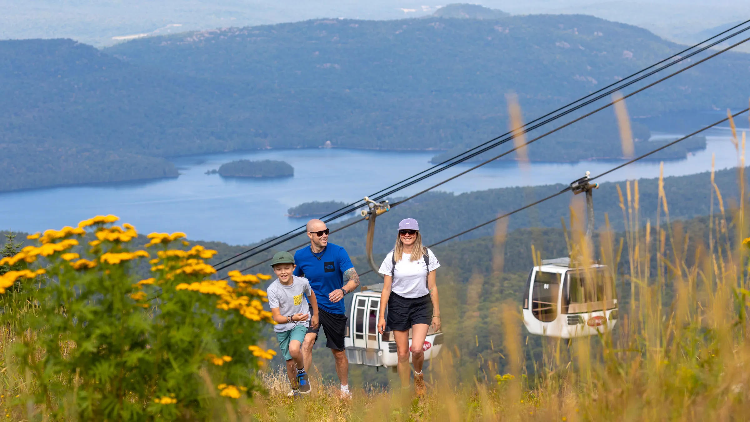
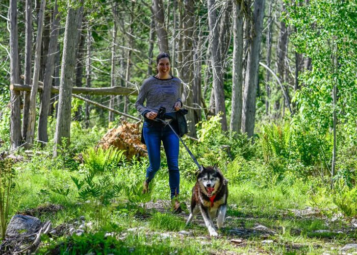
The highest peak in the Laurentians can be explored on 11 trails of every level, from 1 km to 11 km. The trails wind through waterfalls, streams, and lakes, colour-coded to international standards. Access is free in summer. Panoramic gondola can be used for those who only want to hike one way (paid ticket required). Leashed dogs are welcome in summer, except in certain preservation sectors of the national park (Parben trail, Johannsen trail, and a section of the Sommets trail).
Over 37 km of trails for every level, from beginner to intermediate, just minutes from the village. The routes follow the Diable River and lead to Mount Onontio and Mount Saint-Bernard, recently rebuilt. Along the way: picnic areas, open viewpoints, and chickadees that sometimes land in your hand. Access fee or Accès Tremblant card required. Dogs not allowed, for the conservation of the site.
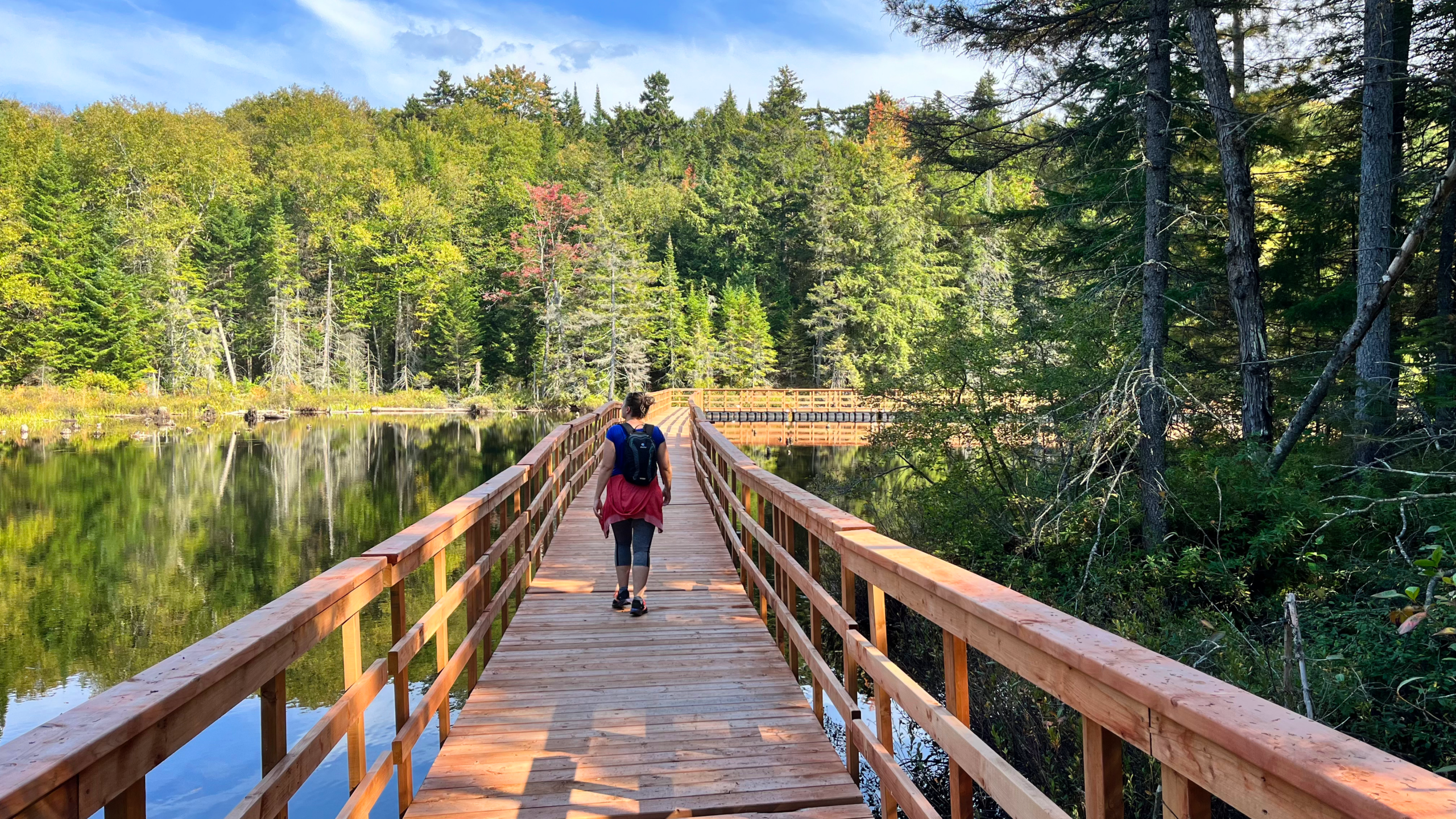
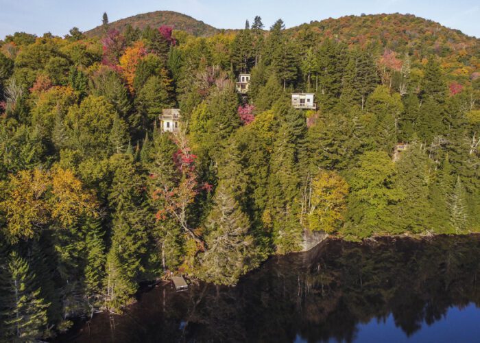
A little-known gem in Mont-Blanc: over 16 km of easy-to-moderate trails around Lac du Cordon and Lac Renversi, with long floating boardwalks over the water and the summit of Mont Condor for the view. The Le Panoramique trail climbs to 500 m and offers a viewpoint over the lake and Mont-Tremblant. This is also where you'll find Les Refuges Perchés — our elevated treehouses for an overnight stay in the forest.
Beyond the major networks, the region is full of summits and routes worth the trip.
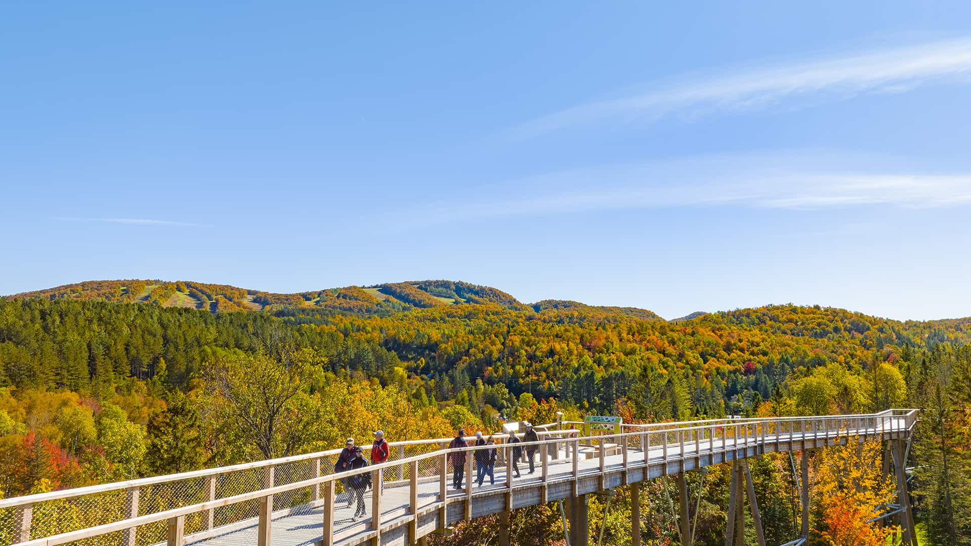
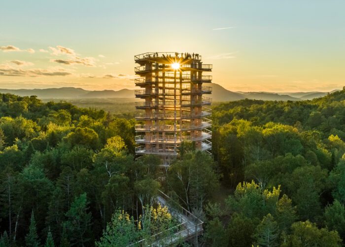
A 1,350 m wooden walkway that rises gently (max. 6% grade) to a 40 m panoramic tower, accessible by stroller and wheelchair. A 360° view over the Laurentians and Mont-Tremblant.
Learn more
Nearly 15 km of rocky trails that run along climbing walls, with ropes, ladders, and handrails in places. Views over the Rouge River valley and a headwater lake at the 455 m summit.
Trail map
The Sentiers Mont-Tremblant network links the municipal sector, Domaine Saint-Bernard, the P'tit Train du Nord, and the Gray Rocks site. Free trails for walking, accessible to the whole family.
The Laurentians offer moderate terrain and well-marked trails, but the mountains still demand respect. A little preparation keeps a short walk from turning into a long adventure.
The trails are shared by hikers of every level. These habits protect the environment and make the experience better for everyone.
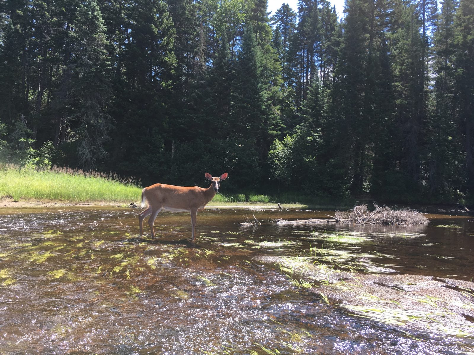
Every step counts. The Leave No Trace principles help us enjoy the trails while protecting them for those who come after us. Staying on marked trails, packing out your waste, observing wildlife from a distance: simple actions that make all the difference. Discover the 7 principles and how to apply them in our activities.
Discover Leave No Trace